
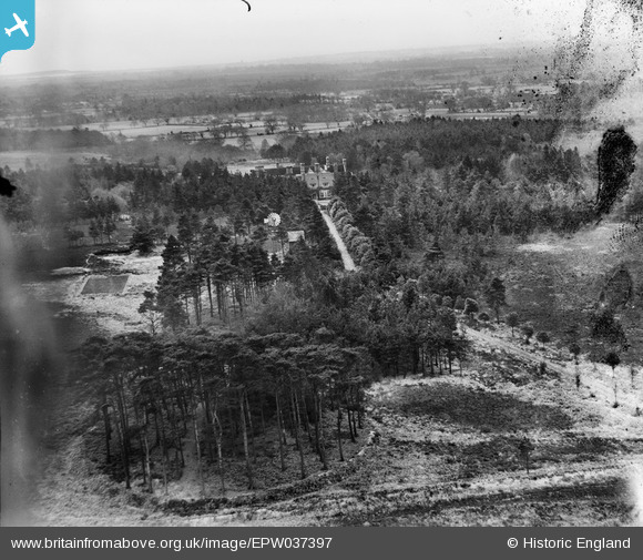
EPW037397 ENGLAND (1932). The Avon Clump, Whitefield Hill and Avon Tyrrell, Sopley, from the north, 1932
© Copyright OpenStreetMap contributors and licensed by the OpenStreetMap Foundation. 2025. Cartography is licensed as CC BY-SA.
Details
| Title | [EPW037397] The Avon Clump, Whitefield Hill and Avon Tyrrell, Sopley, from the north, 1932 |
| Reference | EPW037397 |
| Date | April-1932 |
| Link | |
| Place name | SOPLEY |
| Parish | SOPLEY |
| District | |
| Country | ENGLAND |
| Easting / Northing | 418647, 100537 |
| Longitude / Latitude | -1.7353486124445, 50.803525793805 |
| National Grid Reference | SU186005 |
Pins
Be the first to add a comment to this image!