
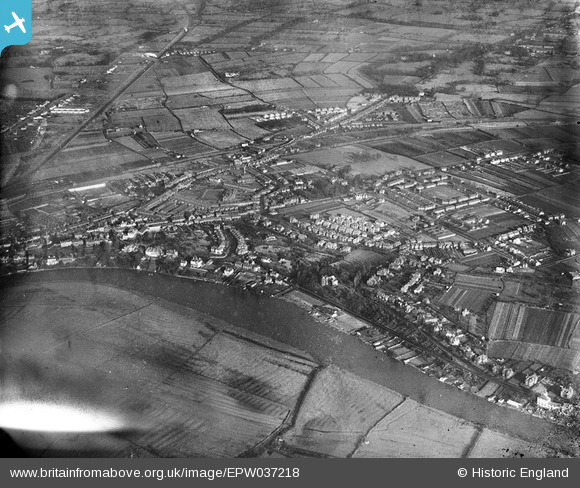
EPW037218 ENGLAND (1931). The River Dee and adjacent residential area, Boughton, 1931
© Copyright OpenStreetMap contributors and licensed by the OpenStreetMap Foundation. 2026. Cartography is licensed as CC BY-SA.
Details
| Title | [EPW037218] The River Dee and adjacent residential area, Boughton, 1931 |
| Reference | EPW037218 |
| Date | November-1931 |
| Link | |
| Place name | BOUGHTON |
| Parish | |
| District | |
| Country | ENGLAND |
| Easting / Northing | 342191, 366154 |
| Longitude / Latitude | -2.8652782396201, 53.189044791589 |
| National Grid Reference | SJ422662 |
Pins

tim birch |
Sunday 12th of February 2023 05:04:23 PM | |
|
Anthony Martin |
Friday 8th of May 2020 11:34:18 AM | |
|
staffsmod |
Thursday 3rd of October 2013 01:11:46 PM | |
|
staffsmod |
Thursday 3rd of October 2013 01:10:34 PM | |
|
staffsmod |
Thursday 3rd of October 2013 01:10:06 PM | |
|
staffsmod |
Thursday 3rd of October 2013 01:07:28 PM | |
|
staffsmod |
Thursday 3rd of October 2013 01:07:09 PM | |
|
staffsmod |
Thursday 3rd of October 2013 01:06:29 PM |