
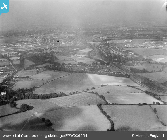
EPW036954 ENGLAND (1931). Woodfield Hill and surrounding countryside, Coulsdon, from the south-west, 1931
© Copyright OpenStreetMap contributors and licensed by the OpenStreetMap Foundation. 2025. Cartography is licensed as CC BY-SA.
Details
| Title | [EPW036954] Woodfield Hill and surrounding countryside, Coulsdon, from the south-west, 1931 |
| Reference | EPW036954 |
| Date | October-1931 |
| Link | |
| Place name | COULSDON |
| Parish | |
| District | |
| Country | ENGLAND |
| Easting / Northing | 528678, 157460 |
| Longitude / Latitude | -0.15396336141923, 51.301193916589 |
| National Grid Reference | TQ287575 |
Pins
Be the first to add a comment to this image!