
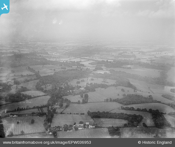
EPW036953 ENGLAND (1931). Upper Gatton Park and surrounding countryside, Gatton, from the south-west, 1931
© Copyright OpenStreetMap contributors and licensed by the OpenStreetMap Foundation. 2025. Cartography is licensed as CC BY-SA.
Details
| Title | [EPW036953] Upper Gatton Park and surrounding countryside, Gatton, from the south-west, 1931 |
| Reference | EPW036953 |
| Date | October-1931 |
| Link | |
| Place name | GATTON |
| Parish | |
| District | |
| Country | ENGLAND |
| Easting / Northing | 526562, 153562 |
| Longitude / Latitude | -0.18568476958211, 51.266631911171 |
| National Grid Reference | TQ266536 |
Pins
Be the first to add a comment to this image!