
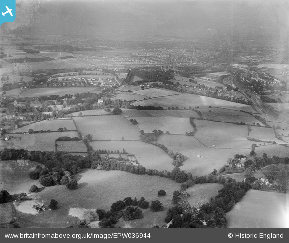
EPW036944 ENGLAND (1931). Countryside between Chipstead and Hooley, Chipstead, from the south-west, 1931
© Copyright OpenStreetMap contributors and licensed by the OpenStreetMap Foundation. 2025. Cartography is licensed as CC BY-SA.
Details
| Title | [EPW036944] Countryside between Chipstead and Hooley, Chipstead, from the south-west, 1931 |
| Reference | EPW036944 |
| Date | October-1931 |
| Link | |
| Place name | CHIPSTEAD |
| Parish | |
| District | |
| Country | ENGLAND |
| Easting / Northing | 528159, 156739 |
| Longitude / Latitude | -0.1616638457235, 51.294830540063 |
| National Grid Reference | TQ282567 |
