
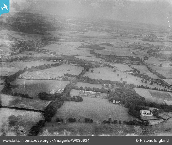
EPW036934 ENGLAND (1931). The countryside between Margery and Lower Kingswood, Margery, from the south, 1931
© Copyright OpenStreetMap contributors and licensed by the OpenStreetMap Foundation. 2025. Cartography is licensed as CC BY-SA.
Details
| Title | [EPW036934] The countryside between Margery and Lower Kingswood, Margery, from the south, 1931 |
| Reference | EPW036934 |
| Date | October-1931 |
| Link | |
| Place name | MARGERY |
| Parish | |
| District | |
| Country | ENGLAND |
| Easting / Northing | 525303, 152628 |
| Longitude / Latitude | -0.2040507611182, 51.258514933698 |
| National Grid Reference | TQ253526 |
Pins

SueG |
Tuesday 9th of December 2014 02:57:20 PM |