
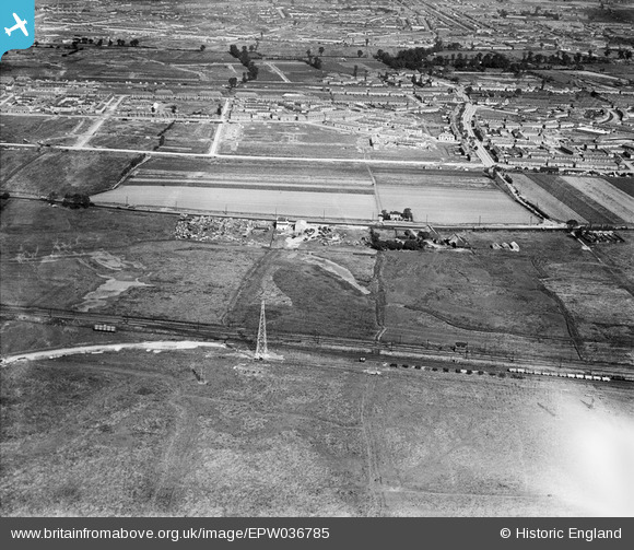
EPW036785 ENGLAND (1931). Castle Green, Ripple Road and housing off Goresbrook Road, Barking, 1931
© Copyright OpenStreetMap contributors and licensed by the OpenStreetMap Foundation. 2025. Cartography is licensed as CC BY-SA.
Details
| Title | [EPW036785] Castle Green, Ripple Road and housing off Goresbrook Road, Barking, 1931 |
| Reference | EPW036785 |
| Date | September-1931 |
| Link | |
| Place name | BARKING |
| Parish | |
| District | |
| Country | ENGLAND |
| Easting / Northing | 547429, 183442 |
| Longitude / Latitude | 0.12566296265194, 51.530132754993 |
| National Grid Reference | TQ474834 |
