
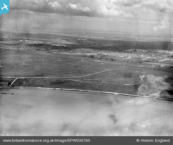
EPW036780 ENGLAND (1931). Ripple Level, Dagenham, from the south-east, 1931
© Copyright OpenStreetMap contributors and licensed by the OpenStreetMap Foundation. 2025. Cartography is licensed as CC BY-SA.
Details
| Title | [EPW036780] Ripple Level, Dagenham, from the south-east, 1931 |
| Reference | EPW036780 |
| Date | September-1931 |
| Link | |
| Place name | DAGENHAM |
| Parish | |
| District | |
| Country | ENGLAND |
| Easting / Northing | 547323, 182112 |
| Longitude / Latitude | 0.12357950230839, 51.518208665334 |
| National Grid Reference | TQ473821 |
Pins
Be the first to add a comment to this image!