
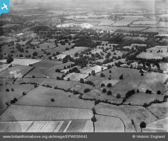
EPW036641 ENGLAND (1931). Worsted Green and Ockley Hill, Merstham, from the south-east, 1931
© Copyright OpenStreetMap contributors and licensed by the OpenStreetMap Foundation. 2025. Cartography is licensed as CC BY-SA.
Details
| Title | [EPW036641] Worsted Green and Ockley Hill, Merstham, from the south-east, 1931 |
| Reference | EPW036641 |
| Date | September-1931 |
| Link | |
| Place name | MERSTHAM |
| Parish | |
| District | |
| Country | ENGLAND |
| Easting / Northing | 530447, 152241 |
| Longitude / Latitude | -0.13050498393078, 51.253882570617 |
| National Grid Reference | TQ304522 |
Pins
Be the first to add a comment to this image!