
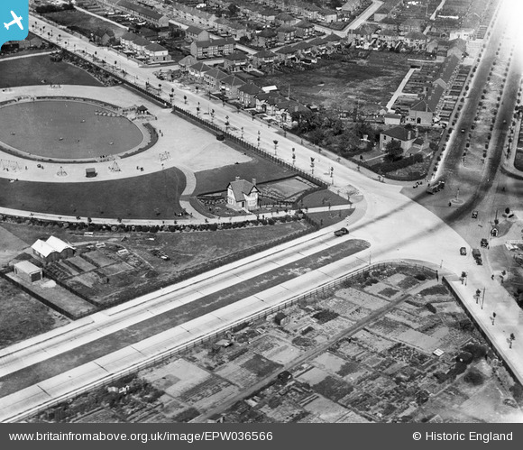
EPW036566 ENGLAND (1931). The junction of Boothferry Road and Pickering Road, Anlaby Park, 1931
© Copyright OpenStreetMap contributors and licensed by the OpenStreetMap Foundation. 2025. Cartography is licensed as CC BY-SA.
Details
| Title | [EPW036566] The junction of Boothferry Road and Pickering Road, Anlaby Park, 1931 |
| Reference | EPW036566 |
| Date | August-1931 |
| Link | |
| Place name | ANLABY PARK |
| Parish | |
| District | |
| Country | ENGLAND |
| Easting / Northing | 505602, 427961 |
| Longitude / Latitude | -0.39882749839314, 53.737105083527 |
| National Grid Reference | TA056280 |
