
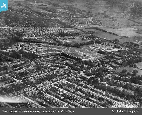
EPW036345 ENGLAND (1931). New housing development at Forest Approach and environs, Woodford, from the south-west, 1931. This image has been produced from a copy-negative.
© Copyright OpenStreetMap contributors and licensed by the OpenStreetMap Foundation. 2026. Cartography is licensed as CC BY-SA.
Details
| Title | [EPW036345] New housing development at Forest Approach and environs, Woodford, from the south-west, 1931. This image has been produced from a copy-negative. |
| Reference | EPW036345 |
| Date | August-1931 |
| Link | |
| Place name | WOODFORD |
| Parish | |
| District | |
| Country | ENGLAND |
| Easting / Northing | 539921, 190790 |
| Longitude / Latitude | 0.020410914920074, 51.598078715999 |
| National Grid Reference | TQ399908 |
