
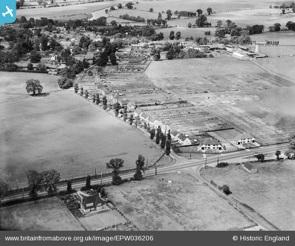
EPW036206 ENGLAND (1931). Pound Lane and environs, Sonning, 1931
© Copyright OpenStreetMap contributors and licensed by the OpenStreetMap Foundation. 2025. Cartography is licensed as CC BY-SA.
Details
| Title | [EPW036206] Pound Lane and environs, Sonning, 1931 |
| Reference | EPW036206 |
| Date | August-1931 |
| Link | |
| Place name | SONNING |
| Parish | SONNING |
| District | |
| Country | ENGLAND |
| Easting / Northing | 476122, 175003 |
| Longitude / Latitude | -0.90398058503421, 51.468381446024 |
| National Grid Reference | SU761750 |
Pins
Be the first to add a comment to this image!