
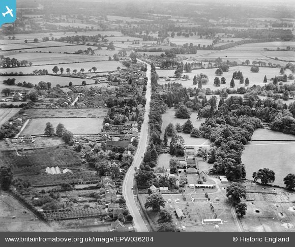
EPW036204 ENGLAND (1931). The village, Spencers Wood, from the north, 1931
© Copyright OpenStreetMap contributors and licensed by the OpenStreetMap Foundation. 2025. Cartography is licensed as CC BY-SA.
Details
| Title | [EPW036204] The village, Spencers Wood, from the north, 1931 |
| Reference | EPW036204 |
| Date | August-1931 |
| Link | |
| Place name | SPENCERS WOOD |
| Parish | SHINFIELD |
| District | |
| Country | ENGLAND |
| Easting / Northing | 471562, 167211 |
| Longitude / Latitude | -0.9711996011095, 51.398917573869 |
| National Grid Reference | SU716672 |
Pins
Be the first to add a comment to this image!