
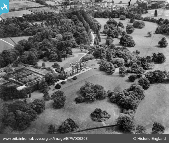
EPW036203 ENGLAND (1931). Stanbury, Spencers Wood, 1931
© Copyright OpenStreetMap contributors and licensed by the OpenStreetMap Foundation. 2025. Cartography is licensed as CC BY-SA.
Details
| Title | [EPW036203] Stanbury, Spencers Wood, 1931 |
| Reference | EPW036203 |
| Date | August-1931 |
| Link | |
| Place name | SPENCERS WOOD |
| Parish | SHINFIELD |
| District | |
| Country | ENGLAND |
| Easting / Northing | 471143, 167015 |
| Longitude / Latitude | -0.97726156273452, 51.397208009617 |
| National Grid Reference | SU711670 |
Pins
Be the first to add a comment to this image!