
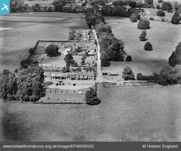
EPW036191 ENGLAND (1931). Hurley Bottom, Hurley, 1931
© Copyright OpenStreetMap contributors and licensed by the OpenStreetMap Foundation. 2025. Cartography is licensed as CC BY-SA.
Details
| Title | [EPW036191] Hurley Bottom, Hurley, 1931 |
| Reference | EPW036191 |
| Date | August-1931 |
| Link | |
| Place name | HURLEY |
| Parish | HURLEY |
| District | |
| Country | ENGLAND |
| Easting / Northing | 482720, 183147 |
| Longitude / Latitude | -0.80709195586482, 51.540674246577 |
| National Grid Reference | SU827831 |
Pins
Be the first to add a comment to this image!