
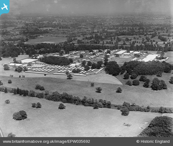
EPW035692 ENGLAND (1931). The Royal Agricultural Show Ground at Castle Park, Warwick, from the south-west, 1931
© Copyright OpenStreetMap contributors and licensed by the OpenStreetMap Foundation. 2025. Cartography is licensed as CC BY-SA.
Details
| Title | [EPW035692] The Royal Agricultural Show Ground at Castle Park, Warwick, from the south-west, 1931 |
| Reference | EPW035692 |
| Date | June-1931 |
| Link | |
| Place name | WARWICK |
| Parish | WARWICK |
| District | |
| Country | ENGLAND |
| Easting / Northing | 428263, 263591 |
| Longitude / Latitude | -1.5857750467524, 52.269354600845 |
| National Grid Reference | SP283636 |
Pins
Be the first to add a comment to this image!