
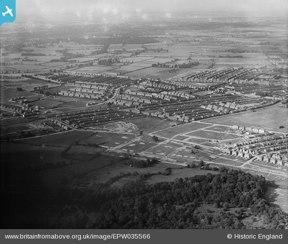
EPW035566 ENGLAND (1931). Housing off Eastern Avenue and surrounding countryside, Redbridge, from the south-west, 1931
© Copyright OpenStreetMap contributors and licensed by the OpenStreetMap Foundation. 2026. Cartography is licensed as CC BY-SA.
Details
| Title | [EPW035566] Housing off Eastern Avenue and surrounding countryside, Redbridge, from the south-west, 1931 |
| Reference | EPW035566 |
| Date | June-1931 |
| Link | |
| Place name | REDBRIDGE |
| Parish | |
| District | |
| Country | ENGLAND |
| Easting / Northing | 542126, 187815 |
| Longitude / Latitude | 0.051023984247151, 51.570791420473 |
| National Grid Reference | TQ421878 |
Pins
Be the first to add a comment to this image!