
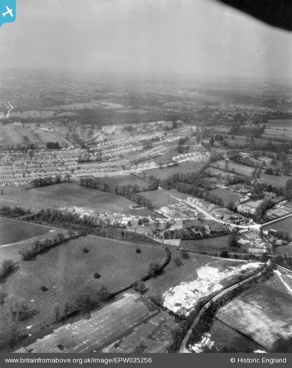
EPW035256 ENGLAND (1931). Hayes Hill and environs, West Wickham, from the south, 1931. This image has been produced from a copy-negative.
© Copyright OpenStreetMap contributors and licensed by the OpenStreetMap Foundation. 2026. Cartography is licensed as CC BY-SA.
Details
| Title | [EPW035256] Hayes Hill and environs, West Wickham, from the south, 1931. This image has been produced from a copy-negative. |
| Reference | EPW035256 |
| Date | May-1931 |
| Link | |
| Place name | WEST WICKHAM |
| Parish | |
| District | |
| Country | ENGLAND |
| Easting / Northing | 539378, 166107 |
| Longitude / Latitude | 0.0028291813616202, 51.376387221098 |
| National Grid Reference | TQ394661 |
Pins

LeeJames |
Thursday 26th of February 2026 12:56:35 PM |