
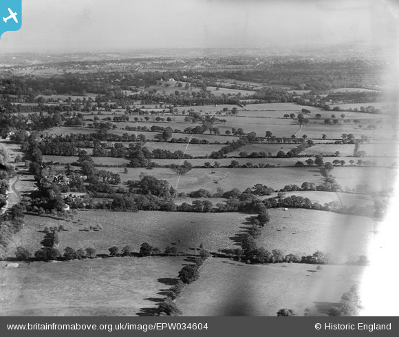
EPW034604 ENGLAND (1930). Holecombe Dale, Mill Hill, from the west, 1930
© Copyright OpenStreetMap contributors and licensed by the OpenStreetMap Foundation. 2026. Cartography is licensed as CC BY-SA.
Details
| Title | [EPW034604] Holecombe Dale, Mill Hill, from the west, 1930 |
| Reference | EPW034604 |
| Date | 16-October-1930 |
| Link | |
| Place name | MILL HILL |
| Parish | |
| District | |
| Country | ENGLAND |
| Easting / Northing | 522536, 193665 |
| Longitude / Latitude | -0.22947899228823, 51.627970622667 |
| National Grid Reference | TQ225937 |
Pins
Be the first to add a comment to this image!