
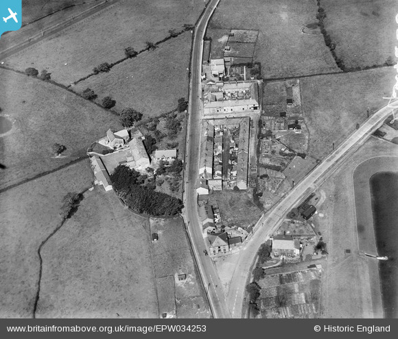
EPW034253 ENGLAND (1930). New Town, Longridge, 1930
© Copyright OpenStreetMap contributors and licensed by the OpenStreetMap Foundation. 2026. Cartography is licensed as CC BY-SA.
Details
| Title | [EPW034253] New Town, Longridge, 1930 |
| Reference | EPW034253 |
| Date | July-1930 |
| Link | |
| Place name | LONGRIDGE |
| Parish | LONGRIDGE |
| District | |
| Country | ENGLAND |
| Easting / Northing | 360106, 436515 |
| Longitude / Latitude | -2.6061046332776, 53.823162246554 |
| National Grid Reference | SD601365 |
