
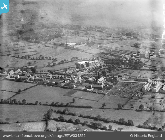
EPW034252 ENGLAND (1930). St Wilfrid's Church and environs, Longridge, from the west, 1930
© Copyright OpenStreetMap contributors and licensed by the OpenStreetMap Foundation. 2025. Cartography is licensed as CC BY-SA.
Details
| Title | [EPW034252] St Wilfrid's Church and environs, Longridge, from the west, 1930 |
| Reference | EPW034252 |
| Date | July-1930 |
| Link | |
| Place name | LONGRIDGE |
| Parish | LONGRIDGE |
| District | |
| Country | ENGLAND |
| Easting / Northing | 360010, 437473 |
| Longitude / Latitude | -2.6076876704531, 53.831765816632 |
| National Grid Reference | SD600375 |
Pins
Be the first to add a comment to this image!