
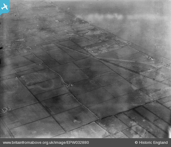
EPW032880 ENGLAND (1930). Fields around South Marsh Farm, Barton-upon-Humber, 1930
© Copyright OpenStreetMap contributors and licensed by the OpenStreetMap Foundation. 2025. Cartography is licensed as CC BY-SA.
Details
| Title | [EPW032880] Fields around South Marsh Farm, Barton-upon-Humber, 1930 |
| Reference | EPW032880 |
| Date | June-1930 |
| Link | |
| Place name | BARTON-UPON-HUMBER |
| Parish | BARTON-UPON-HUMBER |
| District | |
| Country | ENGLAND |
| Easting / Northing | 504483, 422732 |
| Longitude / Latitude | -0.41755176984148, 53.690344259583 |
| National Grid Reference | TA045227 |
Pins
Be the first to add a comment to this image!