
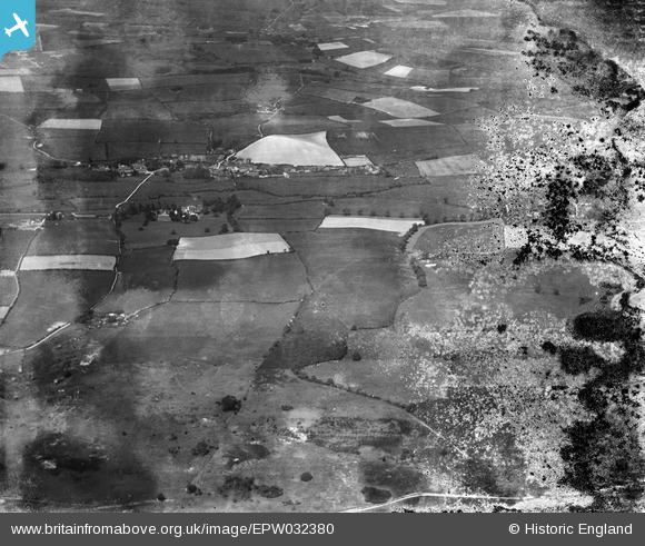
EPW032380 ENGLAND (1930). Tolpuddle and surrounding countryside, Affpuddle, 1930. This image has been produced from a damaged negative.
© Copyright OpenStreetMap contributors and licensed by the OpenStreetMap Foundation. 2026. Cartography is licensed as CC BY-SA.
Details
| Title | [EPW032380] Tolpuddle and surrounding countryside, Affpuddle, 1930. This image has been produced from a damaged negative. |
| Reference | EPW032380 |
| Date | June-1930 |
| Link | |
| Place name | AFFPUDDLE |
| Parish | AFFPUDDLE |
| District | |
| Country | ENGLAND |
| Easting / Northing | 379478, 93455 |
| Longitude / Latitude | -2.2908670985431, 50.739770334872 |
| National Grid Reference | SY795935 |
Pins
Be the first to add a comment to this image!