
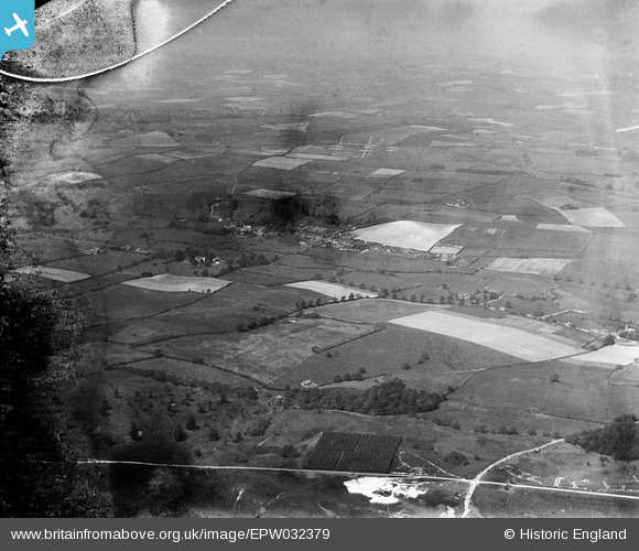
EPW032379 ENGLAND (1930). Tolpuddle and surrounding countryside, Affpuddle, from the south-east, 1930. This image has been produced from a damaged negative.
© Copyright OpenStreetMap contributors and licensed by the OpenStreetMap Foundation. 2026. Cartography is licensed as CC BY-SA.
Details
| Title | [EPW032379] Tolpuddle and surrounding countryside, Affpuddle, from the south-east, 1930. This image has been produced from a damaged negative. |
| Reference | EPW032379 |
| Date | June-1930 |
| Link | |
| Place name | AFFPUDDLE |
| Parish | AFFPUDDLE |
| District | |
| Country | ENGLAND |
| Easting / Northing | 379913, 93195 |
| Longitude / Latitude | -2.2846875623174, 50.737447221717 |
| National Grid Reference | SY799932 |
Pins
Be the first to add a comment to this image!