
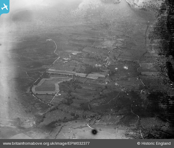
EPW032377 ENGLAND (1930). Briantspuddle, Throop and surrounding countryside, Turners Puddle, from the east, 1930. This image has been produced from a damaged negative.
© Copyright OpenStreetMap contributors and licensed by the OpenStreetMap Foundation. 2026. Cartography is licensed as CC BY-SA.
Details
| Title | [EPW032377] Briantspuddle, Throop and surrounding countryside, Turners Puddle, from the east, 1930. This image has been produced from a damaged negative. |
| Reference | EPW032377 |
| Date | June-1930 |
| Link | |
| Place name | TURNERS PUDDLE |
| Parish | TURNERS PUDDLE |
| District | |
| Country | ENGLAND |
| Easting / Northing | 383303, 92879 |
| Longitude / Latitude | -2.2366281797392, 50.734712635699 |
| National Grid Reference | SY833929 |
Pins
Be the first to add a comment to this image!