
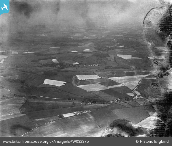
EPW032375 ENGLAND (1930). Cheselbourne and surrounding countryside, Cheselbourne, from the west, 1930. This image has been produced from a damaged negative.
© Copyright OpenStreetMap contributors and licensed by the OpenStreetMap Foundation. 2026. Cartography is licensed as CC BY-SA.
Details
| Title | [EPW032375] Cheselbourne and surrounding countryside, Cheselbourne, from the west, 1930. This image has been produced from a damaged negative. |
| Reference | EPW032375 |
| Date | June-1930 |
| Link | |
| Place name | CHESELBOURNE |
| Parish | CHESELBOURNE |
| District | |
| Country | ENGLAND |
| Easting / Northing | 375781, 100584 |
| Longitude / Latitude | -2.3437349016049, 50.803742298967 |
| National Grid Reference | ST758006 |
Pins
Be the first to add a comment to this image!