
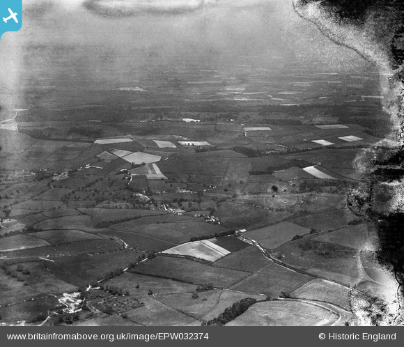
EPW032374 ENGLAND (1930). Melcombe Bingham, Lower Ansty and surrounding countryside, Cross Lanes, from the south-west, 1930. This image has been produced from a damaged negative.
© Copyright OpenStreetMap contributors and licensed by the OpenStreetMap Foundation. 2026. Cartography is licensed as CC BY-SA.
Details
| Title | [EPW032374] Melcombe Bingham, Lower Ansty and surrounding countryside, Cross Lanes, from the south-west, 1930. This image has been produced from a damaged negative. |
| Reference | EPW032374 |
| Date | June-1930 |
| Link | |
| Place name | CROSS LANES |
| Parish | MELCOMBE HORSEY |
| District | |
| Country | ENGLAND |
| Easting / Northing | 375882, 102423 |
| Longitude / Latitude | -2.3424223595042, 50.820285387449 |
| National Grid Reference | ST759024 |
Pins
Be the first to add a comment to this image!