
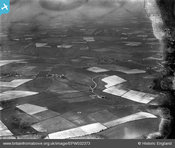
EPW032373 ENGLAND (1930). Whitelands Down and surrounding countryside, Dewlish, from the south-west, 1930. This image has been produced from a damaged negative.
© Copyright OpenStreetMap contributors and licensed by the OpenStreetMap Foundation. 2026. Cartography is licensed as CC BY-SA.
Details
| Title | [EPW032373] Whitelands Down and surrounding countryside, Dewlish, from the south-west, 1930. This image has been produced from a damaged negative. |
| Reference | EPW032373 |
| Date | June-1930 |
| Link | |
| Place name | DEWLISH |
| Parish | DEWLISH |
| District | |
| Country | ENGLAND |
| Easting / Northing | 376139, 98314 |
| Longitude / Latitude | -2.3385064914164, 50.783342052957 |
| National Grid Reference | SY761983 |
Pins
Be the first to add a comment to this image!