
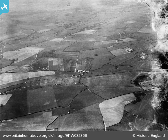
EPW032369 ENGLAND (1930). Track of Roman Road west of Ashley Barn and surrounding countryside, Bere Regis, from the north-east, 1930. This image has been produced from a damaged negative.
© Copyright OpenStreetMap contributors and licensed by the OpenStreetMap Foundation. 2026. Cartography is licensed as CC BY-SA.
Details
| Title | [EPW032369] Track of Roman Road west of Ashley Barn and surrounding countryside, Bere Regis, from the north-east, 1930. This image has been produced from a damaged negative. |
| Reference | EPW032369 |
| Date | June-1930 |
| Link | |
| Place name | BERE REGIS |
| Parish | BERE REGIS |
| District | |
| Country | ENGLAND |
| Easting / Northing | 381746, 95764 |
| Longitude / Latitude | -2.2588366231701, 50.760612235809 |
| National Grid Reference | SY817958 |
Pins
Be the first to add a comment to this image!