
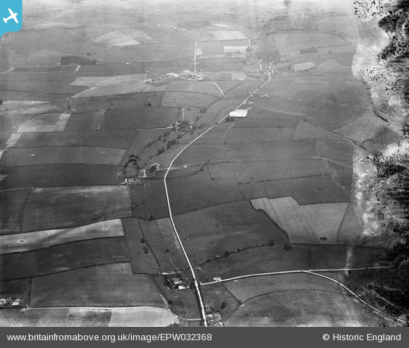
EPW032368 ENGLAND (1930). Milton Road and surrounding countryside, Milton Abbas, from the north, 1930. This image has been produced from a damaged negative.
© Copyright OpenStreetMap contributors and licensed by the OpenStreetMap Foundation. 2026. Cartography is licensed as CC BY-SA.
Details
| Title | [EPW032368] Milton Road and surrounding countryside, Milton Abbas, from the north, 1930. This image has been produced from a damaged negative. |
| Reference | EPW032368 |
| Date | June-1930 |
| Link | |
| Place name | MILTON ABBAS |
| Parish | MILTON ABBAS |
| District | |
| Country | ENGLAND |
| Easting / Northing | 380539, 99833 |
| Longitude / Latitude | -2.2761667885182, 50.797167605716 |
| National Grid Reference | SY805998 |
Pins
Be the first to add a comment to this image!