
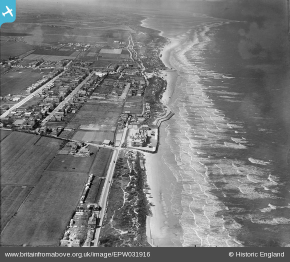
EPW031916 ENGLAND (1930). The town and the coast, Mablethorpe, from the south-east, 1930
© Copyright OpenStreetMap contributors and licensed by the OpenStreetMap Foundation. 2026. Cartography is licensed as CC BY-SA.
Details
| Title | [EPW031916] The town and the coast, Mablethorpe, from the south-east, 1930 |
| Reference | EPW031916 |
| Date | May-1930 |
| Link | |
| Place name | MABLETHORPE |
| Parish | MABLETHORPE AND SUTTON |
| District | |
| Country | ENGLAND |
| Easting / Northing | 551317, 384372 |
| Longitude / Latitude | 0.27272930606577, 53.334317193989 |
| National Grid Reference | TF513844 |
