
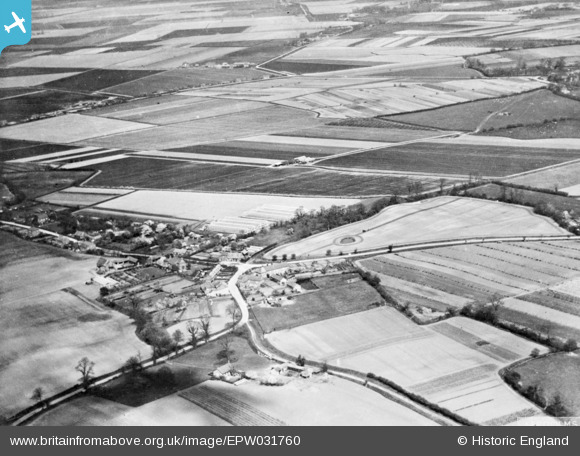
EPW031760 ENGLAND (1930). Orange Row, Terrington St Clement, 1930. This image has been produced from a copy-negative.
© Copyright OpenStreetMap contributors and licensed by the OpenStreetMap Foundation. 2026. Cartography is licensed as CC BY-SA.
Details
| Title | [EPW031760] Orange Row, Terrington St Clement, 1930. This image has been produced from a copy-negative. |
| Reference | EPW031760 |
| Date | April-1930 |
| Link | |
| Place name | TERRINGTON ST CLEMENT |
| Parish | TERRINGTON ST. CLEMENT |
| District | |
| Country | ENGLAND |
| Easting / Northing | 554510, 320604 |
| Longitude / Latitude | 0.29006383708113, 52.760575221011 |
| National Grid Reference | TF545206 |
Pins
Be the first to add a comment to this image!