
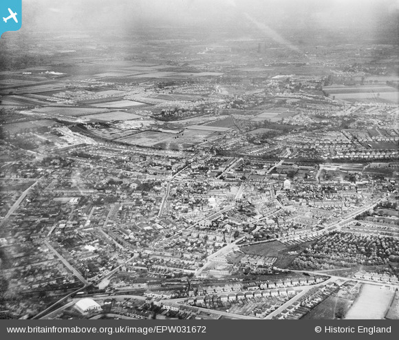
EPW031672 ENGLAND (1930). The town centre, Hounslow, from the south-east, 1930
© Copyright OpenStreetMap contributors and licensed by the OpenStreetMap Foundation. 2024. Cartography is licensed as CC BY-SA.
Details
| Title | [EPW031672] The town centre, Hounslow, from the south-east, 1930 |
| Reference | EPW031672 |
| Date | April-1930 |
| Link | |
| Place name | HOUNSLOW |
| Parish | |
| District | |
| Country | ENGLAND |
| Easting / Northing | 513851, 175357 |
| Longitude / Latitude | -0.36083645848724, 51.46522960756 |
| National Grid Reference | TQ139754 |
Pins
 Leslie B |
Friday 5th of August 2022 12:05:06 PM | |
CJC |
Tuesday 27th of April 2021 06:23:38 PM | |
CJC |
Tuesday 27th of April 2021 06:22:59 PM | |
CJC |
Tuesday 27th of April 2021 06:22:20 PM | |
CJC |
Tuesday 27th of April 2021 06:21:22 PM |


