
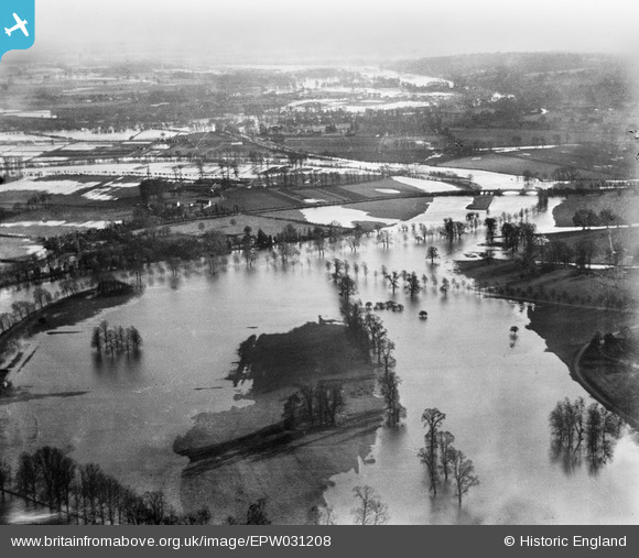
EPW031208 ENGLAND (1929). The River Thames flood covering Home Park, Albert Bridge and Ham Island, Windsor, from the north-west, 1929
© Copyright OpenStreetMap contributors and licensed by the OpenStreetMap Foundation. 2025. Cartography is licensed as CC BY-SA.
Details
| Title | [EPW031208] The River Thames flood covering Home Park, Albert Bridge and Ham Island, Windsor, from the north-west, 1929 |
| Reference | EPW031208 |
| Date | December-1929 |
| Link | |
| Place name | WINDSOR |
| Parish | |
| District | |
| Country | ENGLAND |
| Easting / Northing | 498351, 176179 |
| Longitude / Latitude | -0.58368895831347, 51.475525930132 |
| National Grid Reference | SU984762 |
Pins
Be the first to add a comment to this image!