
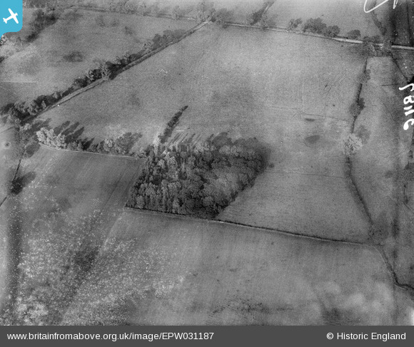
EPW031187 ENGLAND (1929). The Site of Eaton House Roman fort and Lunt's Coppice, Brewood, 1929
© Copyright OpenStreetMap contributors and licensed by the OpenStreetMap Foundation. 2025. Cartography is licensed as CC BY-SA.
Details
| Title | [EPW031187] The Site of Eaton House Roman fort and Lunt's Coppice, Brewood, 1929 |
| Reference | EPW031187 |
| Date | November-1929 |
| Link | |
| Place name | BREWOOD |
| Parish | BREWOOD AND COVEN |
| District | |
| Country | ENGLAND |
| Easting / Northing | 390500, 310339 |
| Longitude / Latitude | -2.1405677773826, 52.6903094023 |
| National Grid Reference | SJ905103 |
Pins
Be the first to add a comment to this image!