
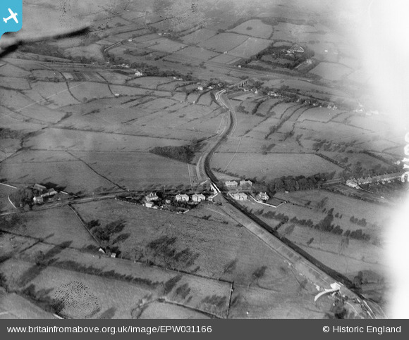
EPW031166 ENGLAND (1929). Hope Valley and Castleton Road, Hope, 1929
© Copyright OpenStreetMap contributors and licensed by the OpenStreetMap Foundation. 2025. Cartography is licensed as CC BY-SA.
Details
| Title | [EPW031166] Hope Valley and Castleton Road, Hope, 1929 |
| Reference | EPW031166 |
| Date | 1-November-1929 |
| Link | |
| Place name | HOPE |
| Parish | HOPE |
| District | |
| Country | ENGLAND |
| Easting / Northing | 416617, 383598 |
| Longitude / Latitude | -1.7503526376285, 53.348743815645 |
| National Grid Reference | SK166836 |
Pins
 Dylan Moore |
Tuesday 15th of July 2014 04:02:14 AM | |
Dylan Moore |
Tuesday 15th of July 2014 04:01:20 AM |