
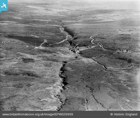
EPW029999 ENGLAND (1929). Gorple Upper Reservoir under construction, Black Moor, from the west, 1929
© Copyright OpenStreetMap contributors and licensed by the OpenStreetMap Foundation. 2026. Cartography is licensed as CC BY-SA.
Details
| Title | [EPW029999] Gorple Upper Reservoir under construction, Black Moor, from the west, 1929 |
| Reference | EPW029999 |
| Date | October-1929 |
| Link | |
| Place name | BLACK MOOR |
| Parish | HEPTONSTALL |
| District | |
| Country | ENGLAND |
| Easting / Northing | 391527, 431419 |
| Longitude / Latitude | -2.128592806009, 53.778816400861 |
| National Grid Reference | SD915314 |
Pins

Class31 |
Friday 19th of October 2012 10:26:01 PM | |
|
Class31 |
Friday 19th of October 2012 10:24:49 PM | |
|
Class31 |
Friday 19th of October 2012 10:23:29 PM | |
|
Class31 |
Friday 19th of October 2012 08:47:56 AM | |
|
Class31 |
Friday 19th of October 2012 08:44:07 AM | |
|
Class31 |
Friday 19th of October 2012 08:43:39 AM | |
|
Class31 |
Friday 19th of October 2012 08:42:52 AM | |
|
Class31 |
Friday 19th of October 2012 08:42:14 AM |
User Comment Contributions
As for EPW029997 - we'll update the catalogue, and post the correct location data here in due course. Great "spot"! Yours, Katy Britain from Above Cataloguing Team Leader |
Katy Whitaker |
Wednesday 24th of October 2012 12:32:23 PM |