
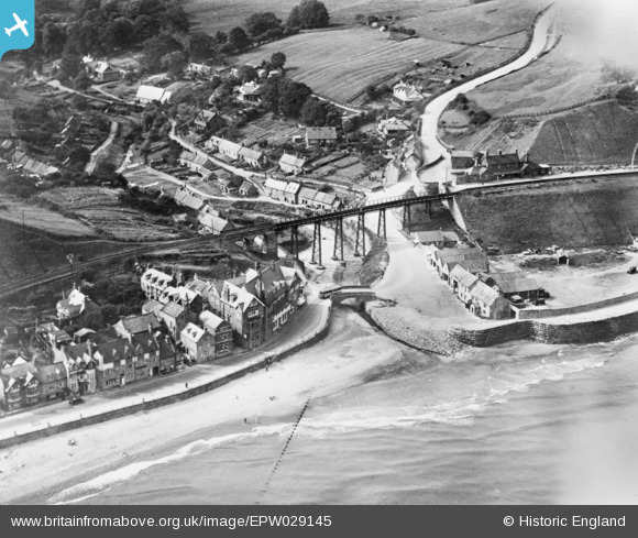
EPW029145 ENGLAND (1929). The railway viaduct and village, Sandsend, 1929. This image has been produced from a copy-negative.
© Copyright OpenStreetMap contributors and licensed by the OpenStreetMap Foundation. 2026. Cartography is licensed as CC BY-SA.
Details
| Title | [EPW029145] The railway viaduct and village, Sandsend, 1929. This image has been produced from a copy-negative. |
| Reference | EPW029145 |
| Date | September-1929 |
| Link | |
| Place name | SANDSEND |
| Parish | LYTHE |
| District | |
| Country | ENGLAND |
| Easting / Northing | 486021, 512837 |
| Longitude / Latitude | -0.67144921052179, 54.503412091625 |
| National Grid Reference | NZ860128 |
