
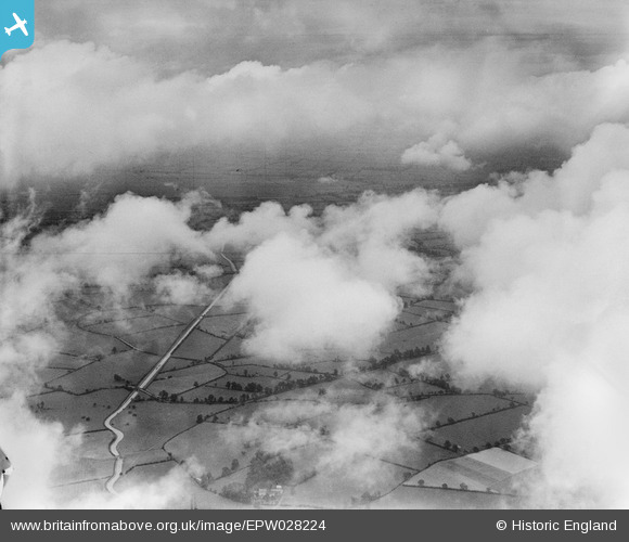
EPW028224 ENGLAND (1929). The Oxford Canal and countryside to the south of Rugby, Barby, from the south-east, 1929
© Copyright OpenStreetMap contributors and licensed by the OpenStreetMap Foundation. 2026. Cartography is licensed as CC BY-SA.
Details
| Title | [EPW028224] The Oxford Canal and countryside to the south of Rugby, Barby, from the south-east, 1929 |
| Reference | EPW028224 |
| Date | 10-August-1929 |
| Link | |
| Place name | BARBY |
| Parish | BARBY |
| District | |
| Country | ENGLAND |
| Easting / Northing | 453026, 270961 |
| Longitude / Latitude | -1.2217132968728, 52.333783510835 |
| National Grid Reference | SP530710 |
Pins

Brian |
Thursday 9th of October 2014 10:40:56 AM | |
|
Brian |
Thursday 9th of October 2014 10:38:00 AM | |
|
Brian |
Thursday 9th of October 2014 10:36:50 AM | |
|
TomRobin |
Wednesday 8th of May 2013 11:23:00 PM | |
Bridge No 76 Norman's Bridge |
Brian |
Thursday 9th of October 2014 10:44:27 AM |
|
TomRobin |
Wednesday 8th of May 2013 11:18:37 PM | |
|
TomRobin |
Wednesday 8th of May 2013 11:18:10 PM | |
Known as Barby Straight |
Brian |
Thursday 9th of October 2014 10:43:09 AM |
User Comment Contributions
Well done TomRobin for correctly locating this image - it is indeed the Oxford Canal near Barby, just south of Rugby. I've amended our records, and the website should reflect the correct location following the next data upload. Best wishes Laura Maddison (Britain from Above Cataloguer) |

Laura Maddison |
Wednesday 7th of August 2013 03:21:07 PM |