
EPW027270 ENGLAND (1929). The Hawkesbury Electricity Station and surrounding countryside, Hawkesbury, 1929

© Copyright OpenStreetMap contributors and licensed by the OpenStreetMap Foundation. 2026. Cartography is licensed as CC BY-SA.
Details
| Title | [EPW027270] The Hawkesbury Electricity Station and surrounding countryside, Hawkesbury, 1929 |
| Reference | EPW027270 |
| Date | 31-May-1929 |
| Link | |
| Place name | HAWKESBURY |
| Parish | |
| District | |
| Country | ENGLAND |
| Easting / Northing | 436276, 284294 |
| Longitude / Latitude | -1.4661017968174, 52.455020755968 |
| National Grid Reference | SP363843 |
Pins

philex31 |
Tuesday 10th of October 2017 05:08:56 PM | |
|
Dean |
Saturday 15th of April 2017 06:19:58 PM | |
|
Dean |
Friday 15th of November 2013 02:42:08 PM | |
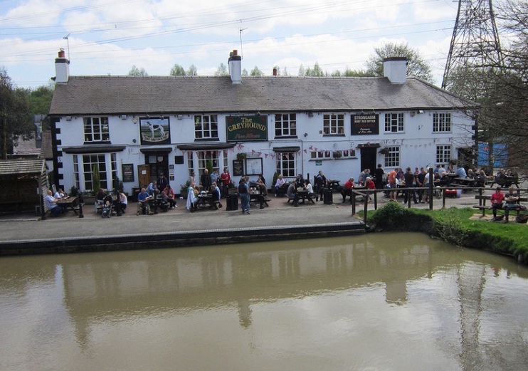
The pub is at the other end of the row of buildings, opposite the pair of boats tied up in the winding area. |
Brian |
Thursday 9th of October 2014 11:08:57 AM |
|
Dean |
Friday 15th of November 2013 02:39:41 PM | |
|
bohica |
Monday 25th of February 2013 07:21:51 AM |


User Comment Contributions
better now the cooling towers have gone |
Dean |
Saturday 15th of April 2017 06:17:24 PM |