
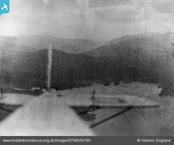
EPW026796 ENGLAND (1929). Elter Water and environs, Elterwater, from the south-east, 1929
© Copyright OpenStreetMap contributors and licensed by the OpenStreetMap Foundation. 2026. Cartography is licensed as CC BY-SA.
Details
| Title | [EPW026796] Elter Water and environs, Elterwater, from the south-east, 1929 |
| Reference | EPW026796 |
| Date | May-1929 |
| Link | |
| Place name | ELTERWATER |
| Parish | LAKES |
| District | |
| Country | ENGLAND |
| Easting / Northing | 333417, 504078 |
| Longitude / Latitude | -3.0264300418324, 54.427624222712 |
| National Grid Reference | NY334041 |
Pins

Class31 |
Friday 19th of October 2012 07:48:35 AM | |
|
Class31 |
Friday 19th of October 2012 07:41:27 AM | |
|
Class31 |
Friday 19th of October 2012 07:40:50 AM | |
|
Class31 |
Friday 19th of October 2012 07:40:20 AM | |
|
Class31 |
Friday 19th of October 2012 07:31:49 AM | |
|
Class31 |
Friday 19th of October 2012 07:30:56 AM | |
|
Class31 |
Friday 19th of October 2012 07:30:23 AM |
User Comment Contributions
Thanks for this one Class 31. It's great that we can sort out this little group of ratehr poorly glass plates. We'll update the catalogue, and post the new data here in due course. Yours, Katy Britain from Above Cataloguing Team Leader |
Katy Whitaker |
Wednesday 24th of October 2012 12:04:38 PM |
Virw looking north over the north end of Windermere. |
Class31 |
Friday 19th of October 2012 07:51:29 AM |