
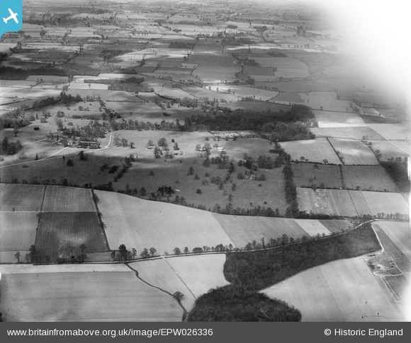
EPW026336 ENGLAND (1929). Belhus Deer Park and Hangman's Wood, Belhus Park, 1929
© Copyright OpenStreetMap contributors and licensed by the OpenStreetMap Foundation. 2026. Cartography is licensed as CC BY-SA.
Details
| Title | [EPW026336] Belhus Deer Park and Hangman's Wood, Belhus Park, 1929 |
| Reference | EPW026336 |
| Date | April-1929 |
| Link | |
| Place name | BELHUS PARK |
| Parish | |
| District | |
| Country | ENGLAND |
| Easting / Northing | 557597, 181133 |
| Longitude / Latitude | 0.27111473068753, 51.506638759813 |
| National Grid Reference | TQ576811 |
Pins

craig |
Tuesday 30th of April 2019 08:48:17 AM |