
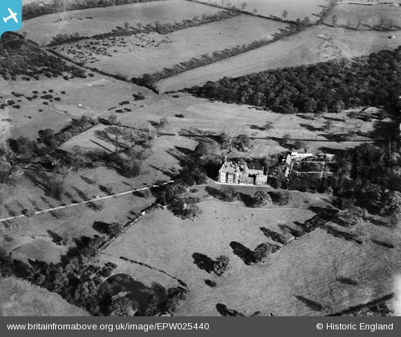
EPW025440 ENGLAND (1928). Hawkwood, Chingford, 1928
© Copyright OpenStreetMap contributors and licensed by the OpenStreetMap Foundation. 2025. Cartography is licensed as CC BY-SA.
Details
| Title | [EPW025440] Hawkwood, Chingford, 1928 |
| Reference | EPW025440 |
| Date | November-1928 |
| Link | |
| Place name | CHINGFORD |
| Parish | |
| District | |
| Country | ENGLAND |
| Easting / Northing | 538332, 195550 |
| Longitude / Latitude | -0.00063887711413051, 51.641248659628 |
| National Grid Reference | TQ383956 |
Pins
Be the first to add a comment to this image!