
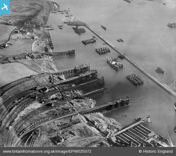
EPW025072 ENGLAND (1928). Staithes in Northumberland Dock, East Howdon, 1928
© Copyright OpenStreetMap contributors and licensed by the OpenStreetMap Foundation. 2025. Cartography is licensed as CC BY-SA.
Details
| Title | [EPW025072] Staithes in Northumberland Dock, East Howdon, 1928 |
| Reference | EPW025072 |
| Date | 14-October-1928 |
| Link | |
| Place name | EAST HOWDON |
| Parish | |
| District | |
| Country | ENGLAND |
| Easting / Northing | 434168, 566336 |
| Longitude / Latitude | -1.4659360444114, 54.990365292678 |
| National Grid Reference | NZ342663 |
Pins
 allan1047 |
Sunday 15th of March 2015 02:09:45 PM |