
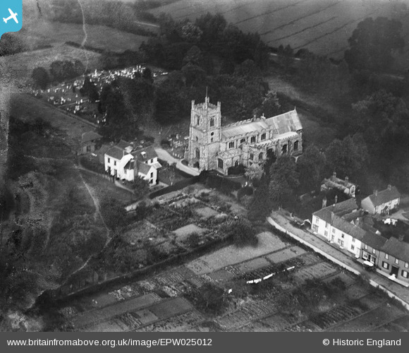
EPW025012 ENGLAND (1928). St Mary's Church, Churchend, 1928. This image has been produced from a damaged negative.
© Copyright OpenStreetMap contributors and licensed by the OpenStreetMap Foundation. 2026. Cartography is licensed as CC BY-SA.
Details
| Title | [EPW025012] St Mary's Church, Churchend, 1928. This image has been produced from a damaged negative. |
| Reference | EPW025012 |
| Date | 9-October-1928 |
| Link | |
| Place name | CHURCHEND |
| Parish | GREAT DUNMOW |
| District | |
| Country | ENGLAND |
| Easting / Northing | 562927, 222960 |
| Longitude / Latitude | 0.36739260703602, 51.880925589998 |
| National Grid Reference | TL629230 |
Pins
Be the first to add a comment to this image!