
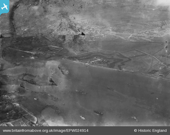
EPW024914 ENGLAND (1928). Tilbury Forst and the River Thames, West Tilbury, 1928. This image has been produced from a damaged print.
© Copyright OpenStreetMap contributors and licensed by the OpenStreetMap Foundation. 2026. Cartography is licensed as CC BY-SA.
Details
| Title | [EPW024914] Tilbury Forst and the River Thames, West Tilbury, 1928. This image has been produced from a damaged print. |
| Reference | EPW024914 |
| Date | 3-October-1928 |
| Link | |
| Place name | EAST TILBURY |
| Parish | |
| District | |
| Country | ENGLAND |
| Easting / Northing | 565248, 174891 |
| Longitude / Latitude | 0.37835236216643, 51.448370114515 |
| National Grid Reference | TQ652749 |
Pins
Be the first to add a comment to this image!