
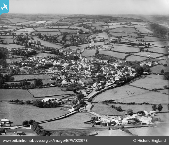
EPW023978 ENGLAND (1928). The town, Colyton, from the north-east, 1928
© Copyright OpenStreetMap contributors and licensed by the OpenStreetMap Foundation. 2024. Cartography is licensed as CC BY-SA.
Details
| Title | [EPW023978] The town, Colyton, from the north-east, 1928 |
| Reference | EPW023978 |
| Date | September-1928 |
| Link | |
| Place name | COLYTON |
| Parish | COLYTON |
| District | |
| Country | ENGLAND |
| Easting / Northing | 324875, 94232 |
| Longitude / Latitude | -3.0648464962692, 50.742259420958 |
| National Grid Reference | SY249942 |
Pins
Be the first to add a comment to this image!