
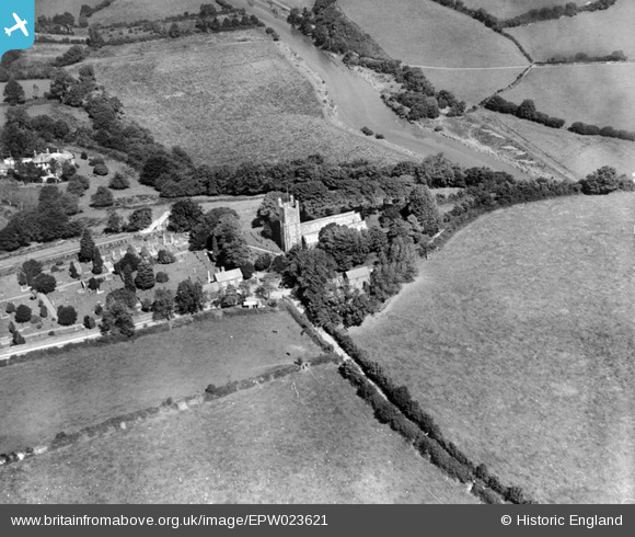
EPW023621 ENGLAND (1928). St Andrew's Church, Calstock, 1928
© Copyright OpenStreetMap contributors and licensed by the OpenStreetMap Foundation. 2025. Cartography is licensed as CC BY-SA.
Details
| Title | [EPW023621] St Andrew's Church, Calstock, 1928 |
| Reference | EPW023621 |
| Date | September-1928 |
| Link | |
| Place name | CALSTOCK |
| Parish | CALSTOCK |
| District | |
| Country | ENGLAND |
| Easting / Northing | 243642, 69240 |
| Longitude / Latitude | -4.2050591501475, 50.501461115789 |
| National Grid Reference | SX436692 |
Pins

MB |
Sunday 4th of November 2012 09:48:59 AM | |
|
MB |
Sunday 4th of November 2012 09:48:38 AM | |
|
MB |
Sunday 4th of November 2012 09:41:41 AM | |
|
MB |
Sunday 4th of November 2012 09:40:45 AM |