
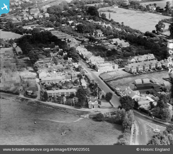
EPW023501 ENGLAND (1928). Lord's Bridge and Highfield Road, Shepperton, 1928
© Copyright OpenStreetMap contributors and licensed by the OpenStreetMap Foundation. 2026. Cartography is licensed as CC BY-SA.
Details
| Title | [EPW023501] Lord's Bridge and Highfield Road, Shepperton, 1928 |
| Reference | EPW023501 |
| Date | September-1928 |
| Link | |
| Place name | SHEPPERTON |
| Parish | |
| District | |
| Country | ENGLAND |
| Easting / Northing | 507977, 167066 |
| Longitude / Latitude | -0.44790051414965, 51.391850726756 |
| National Grid Reference | TQ080671 |
Pins

bumblee |
Wednesday 1st of October 2014 03:22:34 PM | |
|
bumblee |
Wednesday 1st of October 2014 03:21:06 PM | |
|
bumblee |
Thursday 17th of April 2014 03:53:11 PM | |
|
bumblee |
Friday 11th of October 2013 03:19:38 PM | |
|
bumblee |
Friday 11th of October 2013 03:18:28 PM |