
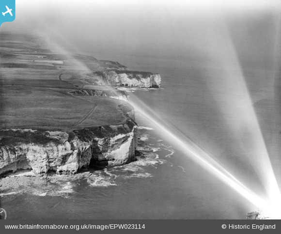
EPW023114 ENGLAND (1928). Stottle Bank and Breil Nook, Flamborough Head, from the south-east, 1928
© Copyright OpenStreetMap contributors and licensed by the OpenStreetMap Foundation. 2025. Cartography is licensed as CC BY-SA.
Details
| Title | [EPW023114] Stottle Bank and Breil Nook, Flamborough Head, from the south-east, 1928 |
| Reference | EPW023114 |
| Date | August-1928 |
| Link | |
| Place name | FLAMBOROUGH HEAD |
| Parish | FLAMBOROUGH |
| District | |
| Country | ENGLAND |
| Easting / Northing | 525387, 471316 |
| Longitude / Latitude | -0.081220395700046, 54.122216774246 |
| National Grid Reference | TA254713 |
Pins
Be the first to add a comment to this image!